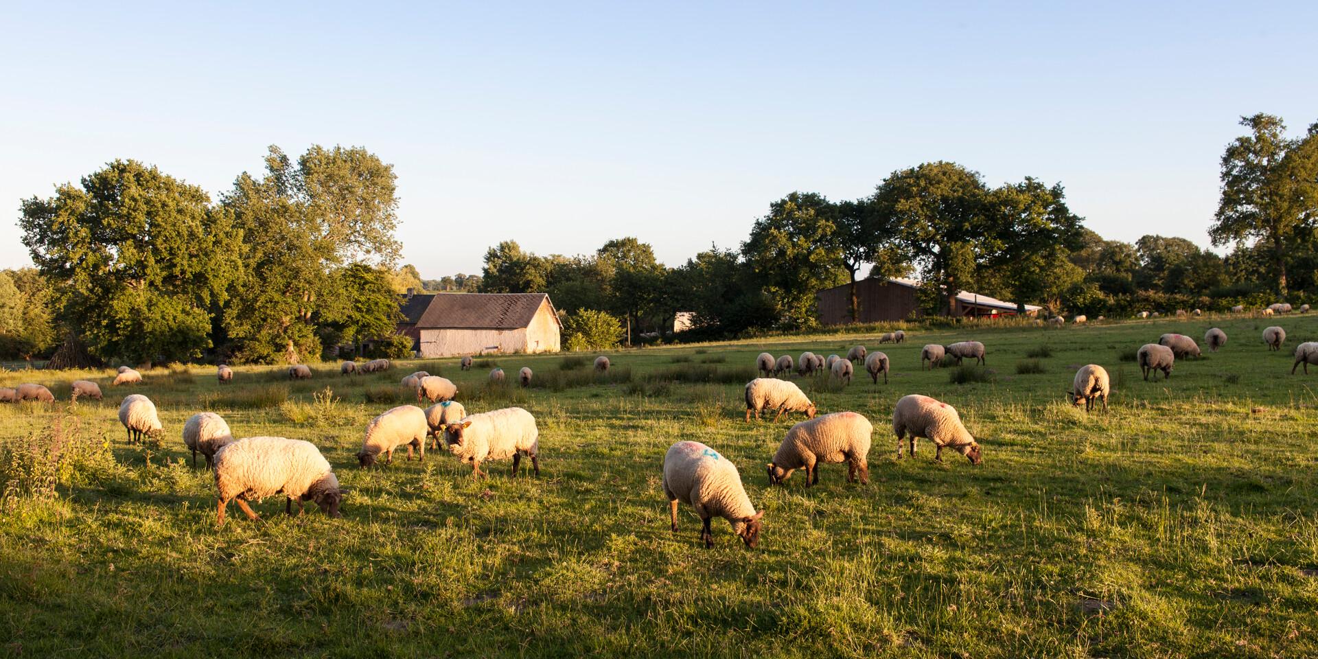
THE SHEEP OF ROMAIN LEPROVOST'S FARM LES AGNEAUX DU BOCAGE IN CÉRENCES. CÉRENCES, NORMANDY, FRANCE. JUNE 2017.THE SHEEP OF ROMAIN LEPROVOST'S FARM LES AGNEAUX DU BOCAGE IN CÉRENCES. CÉRENCES, NORMANDY, FRANCE. JUNE 2017.
©THE SHEEP OF ROMAIN LEPROVOST'S FARM LES AGNEAUX DU BOCAGE IN CÉRENCES. CÉRENCES, NORMANDY, FRANCE. JUNE 2017.|Thomas JOUANNEAU
The paths of Mont Saint-Michel

The paths of Mont Saint-Michel

Enjoy the incredible experience of roaming between coast and countryside

Destination Granville Terre et Mer, in the heart of the Bay of Mont-Saint-Michel, is a veritable network of major hiking and horse-riding trails, criss-crossing paths, villages and coastlines.

LES CHEMINS DU MONT-SAINT-MICHEL

following in the footsteps of medieval pilgrims

With 9 starting points and 3,600 km of signposted footpaths, the Chemins du Mont-Saint-Michel are a network of long-distance footpaths converging on the Mont following in the footsteps of the pilgrims of the Middle Ages. These European cultural itineraries showcase the heritage and history along the way.

Three key stages

The “Barfleur – Mont-Saint-Michel” trail – Total distance: 192 km in 8 stages Information about the association and all the trails: here.

Coutances / Cérences (23 km): GPX route and track to download here

Cérences / La Haye Pesnel (22 km): GPX route and track to download here

La Haye-Pesnel / Saint-Jean-le-Thomas (25 km): GPX route and track to download here
Did you know?

An association works for its paths

In 1998, the association “Les Chemins du Mont-Saint-Michel” was created to recover and promote the ancient pilgrimage routes leading to Mont-Saint-Michel. The association is supported by the French government and the Départements of Normandy. To access the website: click here.

Close